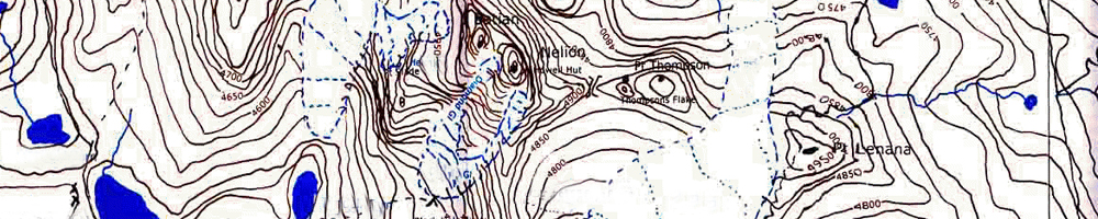
Topography of a place is its landscape, geography and countryside, or in other words it can be shape of a plot or the features found on it. A surveys company is often asked to carry out Topographical Surveys for clients as they intend to effectively utilise the land for development of a project. The land could be undulating, uneven and having slope etc in the wrong direction. Often companies do purchase undulating land as it is cheaper that totally developed and levelled land. After Topographical surveys required areas are prepared and made uses of, resulting in substantial saving to the company.
We are leading providers of topographical surveys. We provide state of the art topographical surveying techniques. From the very dedicated direct survey method, in which our personnel will survey the topography directly, to the more advanced, remote sensing and photogrammetric survey, we provide you with a comprehensive array of survey techniques to choose from. We have very experienced staff to carry out these surveys and can also boast of the latest technology, all that at the most efficient of the prices. We have an experience of surveying diverse topographies and hence, with the backing of the previous experience, we can tell you beforehand (and this to the advantage of the client, by minimising resource wastage), which project to go ahead with and which not to. So, if you wish to associate yourself with the leading topographical surveyors, the buck stops right here.
Topographical Surveys is done so that the architect is aware of the various features of the earth that are on the plot. There are certain features that can be removed or levelled. Depending on the type of the project certain contour lines that depict undulation or uneven heights can also be levelled, in order to increase the useful area of the plot.
Also there are certain features that cannot be removed. In such situations it becomes easier for the architect to place the building or the project skirting these obstacles. Architects very often let certain contour lines remain in the plot so that this undulation is used as an effective means of landscaping. When large tracks of land have to be developed it becomes imperative to have the Topographical Surveys done so that the architect can have the building sited at the most convenient place after the site has been levelled and developed as per his requirement.
Integrated with highly expertise, technology and latest equipment, leading and being the forefront of the survey industry....
L & Q Survey, An ISO 9001:2000 company, successfully completed 21 Years in the Survey Industry. ...
L& Q Surveys (P) Ltd. successfully surveyed for MNC, Govt. of Delhi, Local Bodies, Educational Institutes in the field of Survey & Valuation....